In April, a leading commercial imagery provider suspended distribution of satellite imagery over a conflict zone in the Middle East, at its government’s request. Three months later, the European Union put a 24-hour delay on its open Sentinel data over part of the Sea of Oman. Neither was a malfunction. Both were decisions, made by someone other than the people relying on the pictures. Nor was either a shortage. There have never been more satellites overhead or more pictures being taken. What was missing was control over who sees them, and when.
Most countries never had to think about this, because the pictures kept arriving. That is about to change, because what satellites deliver is changing. Imagery is becoming a commodity. Abundance does not solve the problem; it moves it. When pictures are cheap, the value, and the leverage, shift to whoever turns them into answers. That leaves two questions: who controls that capability, and who gets access to it. What customers want is an answer, fast: is that river rising, is that fire spreading, is that ship where it says it is. Answers matter because guessing is expensive. In 2022, analysts warned that 20 to 30 percent of Ukraine’s winter crops might go unharvested. Satellite analysis later found that about 94 percent had been harvested.
The constraint is no longer collection. A satellite records far more than it can send home. It passes over a ground station for minutes at a time and sends data back roughly in the order it was captured, so an urgent image can queue behind a thousand irrelevant ones. For a flood map, or the first minutes of a wildfire, hours of delay can make the data worthless.
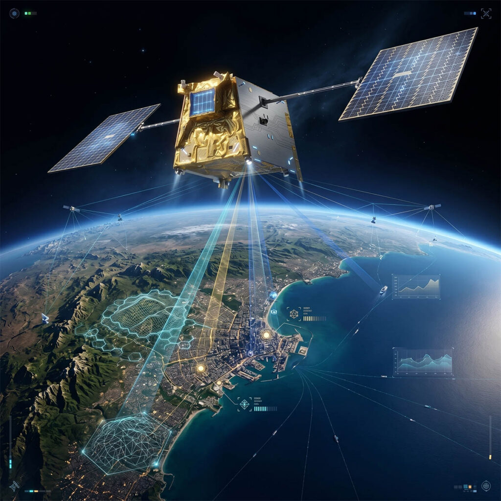
The answer is not more satellites watching. It is satellites that can judge what they are holding. Onboard processing lets a satellite analyze a scene during the pass and send the finding first (a fire, a vessel, a change at a port) ahead of the raw pixels. Put several sensors on one satellite, reading heat, radio signals and the chemical signature of reflected light as well as the picture, and a single pass produces an assessment, not just an image.
Question in, answer out. AI running on onboard computing lets the satellite analyse data and prioritise what matters while still in orbit.
That raises the question this decade will decide: who runs the system that produces the answer? When the answer is the product, whoever controls that system is no longer operating a camera. They are operating a chokepoint.
Two issues are tangled together here. The first is control. A country that depends on another to watch its own coastline also depends on that country’s judgment about what is happening there, what to show, and when. This is why sovereign control has become the first priority for governments buying satellite data, and why this year’s restrictions landed so hard. The second is access. Sovereignty cannot mean that a handful of companies in a handful of countries own all the eyes in the sky, and everyone else rents their understanding.
The two pull in opposite directions, and the usual answer, every country builds its own, does not scale. The alternative is to separate the hardware from the intelligence. Build the orbital infrastructure once, then let customers run their own software on it without launching a satellite of their own. A national Earth observation capability no longer has to mean a decade-long program. It can mean buying flight-proven platforms and writing technology transfer into the contract rather than hoping for it.
That does not remove the chokepoint. It moves it, to the layer that decides whose model runs and whose request is tasked first when demand spikes. Anyone operating that layer, including us, should be held to rules customers can read before they need them. At a minimum: tasking priorities published in advance; customers’ models and outputs remaining theirs; and any restriction on access disclosed with its scope and an end date. The EU’s delay was defended as a security measure. Its critics’; objection was not to the delay itself but that no one said how long it would last.
This is being built, not just argued. Orbitworks, a joint venture between Abu Dhabi’s Marlan Space and San Francisco’s Loft Orbital, is building Altair, a constellation of ten satellites, each carrying multiple sensors and onboard computing, so a customer can run their own analysis on a satellite they never had to launch. A planned expansion to fifty satellites, announced in Paris in September with international partners, is designed around the same shared model.
There is also a working precedent. For more than two decades, the International Charter on Space and Major Disasters has had participating space agencies pool their imagery, free of charge, for those responding on the ground. The UAE assumed the chair in April. It is unglamorous, and it works. But the Charter shares pictures. The harder question is whether we share the understanding, too.
The capability is arriving faster than the rules. This year showed what happens when the rules are written in a crisis, by whoever holds the switch. What will matter in ten years is not how much these satellites can see. It is who gets to see what they learn.

Dr. Hamdullah Mohib is CEO of Marlan Space and Orbitworks, an Abu Dhabi-based space infrastructure company