
Persistent intelligence, RF awareness and monitoring capability to support security operations, border and coastline oversight, and mission-critical situational awareness.
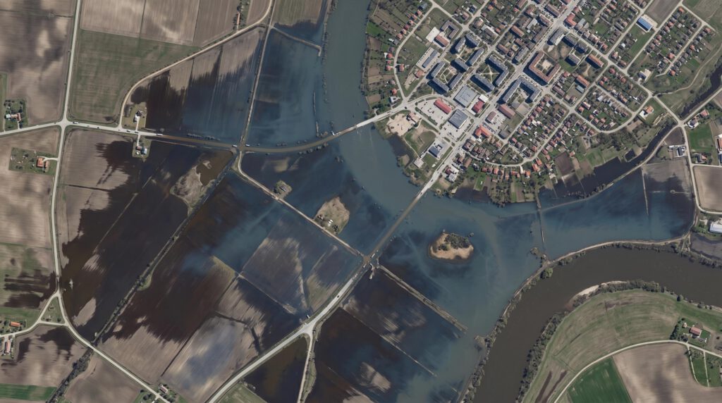
Space-based insight for disaster response, land and environmental monitoring, and national infrastructure oversight, helping agencies respond more effectively and plan with greater confidence.
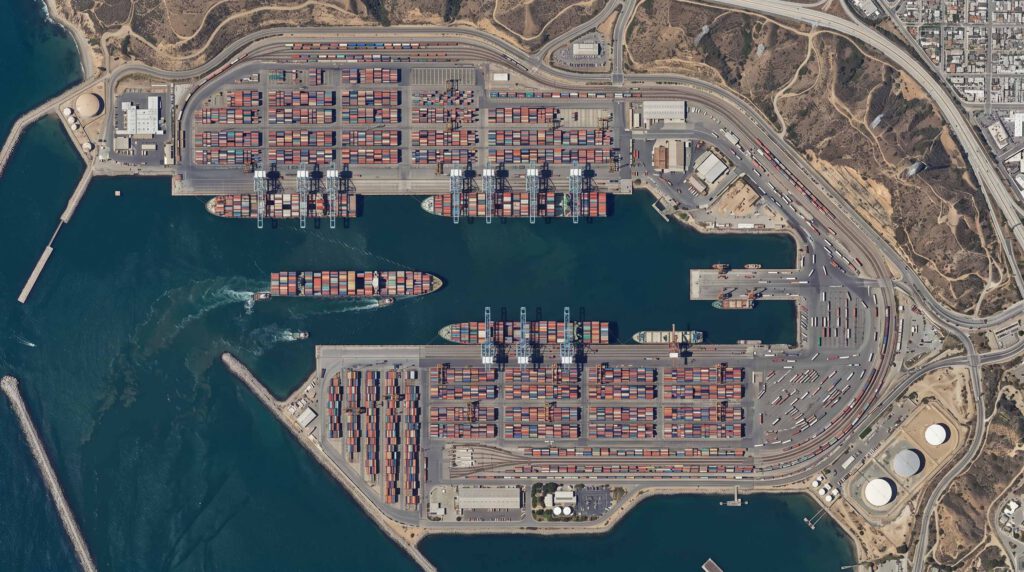
Operational visibility for assets, routes, sites and supply chains, supporting faster decisions and more useful intelligence across commercial environments.